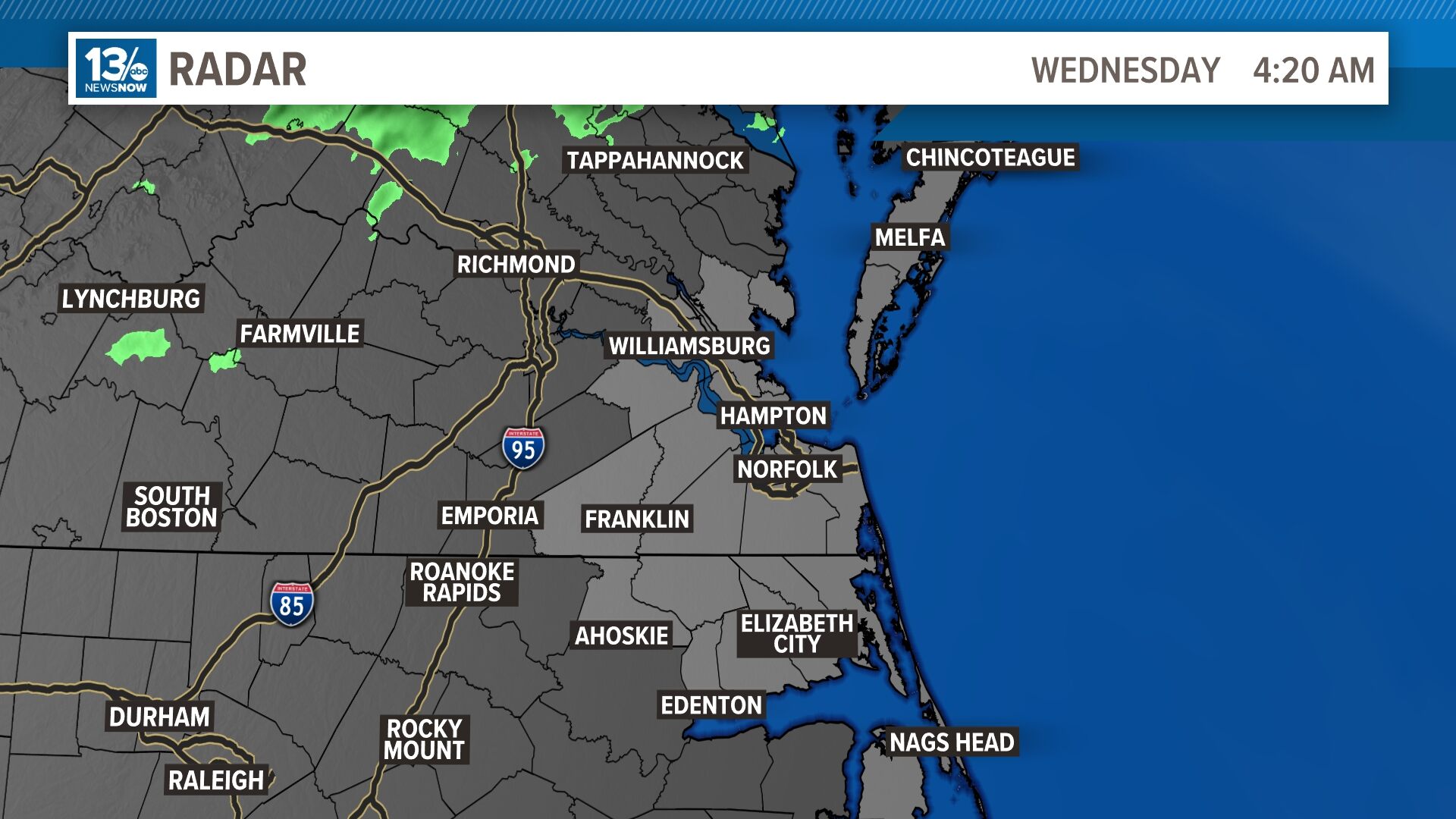
After the passage of a cold front overnight temperatures today have been considerably cooler than yesterday, especially when you factor in a brisk northeast wind. Temperatures over the weekend won't recover much either as a north or northeast winds continue ahead of a weak coastal low that will pass along the southeast coast. I don't expect much in the way of cloudiness on Saturday although a few high thin clouds will begin to work their way up the coast. By Sunday the clouds thicken but there still shouldn't be more than a few stray showers.
The best chance for rain will come Sunday night and Monday morning. For those of you worried about another tidal flooding event- don't be. The tides will run about 1 foot above normal with at most about 2 extra feet of water.
|
SOUTHEASTERN FRONTS |
SOUTHEASTERN SATELLITE |
![]() |


